

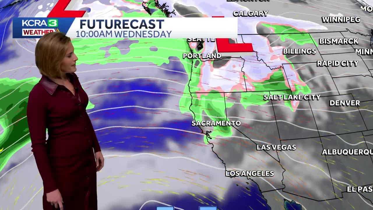
Northern California is bracing for a change in the weather pattern this week, and it looks like the gray skies are sticking around for a bit longer. Starting Tuesday, light rain is expected, particularly in areas north of Interstate 80, and it won’t just be a passing shower. Those clouds will really let loose on Wednesday, bringing a potential for significant rainfall up north while the Sierra sees mostly warm temperatures, keeping snow levels high.
As we slide into the weekend, forecasters predict that a more widespread rain event could roll in overnight Friday into Saturday morning, followed by some diminishing showers later that day. By Sunday, snow levels may lower to about 7,500 feet, which could make for tricky travel in the mountain passes. With holiday travel just around the corner, keeping an eye on the skies has never been more crucial. Rain or shine, let’s just hope it doesn’t rain on our holiday parade!
About the Author
Andrew Johnson
hello I'm Andrew and I built LocalBeat!